If you’re looking for a nature trip, few states offer a better experience than Washington. It is home to a host of national parks and beautiful, natural spaces teeming with life. Among the most impressive of these destinations is Puget Sound. Formed out of a slow-motion collision between glaciers some 15,000 years ago, this gorgeous body of water is unique compared to many lakes and rivers around the country.
Puget Sound is an estuary, a space where freshwater and saltwater merge into one uniform composition. As a result, marine ecosystems like this one are often quite novel and teeming with an impressive array of creatures, whether invertebrates like octopus and sea urchins, fish like salmon and Pacific cod, or even seabirds like puffins, bald eagles, and waterfowl.
While Puget Sound currently sits in rarified air as a premier natural destination within Washington and arguably the entire country, some work must be done to keep it that way in the coming decades. As is the case with most natural spaces around the world, attempts to juggle the technological progress of industrialization with the health of surrounding environments over the last few centuries have presented some unforeseen problems. Much of this comes down to the sound’s complicated relationship with precipitation.
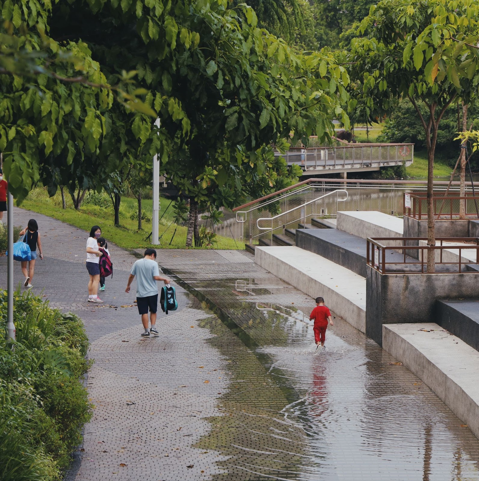
A lack of rain is never really a problem in the Pacific Northwest. Though cities like Seattle, WA, and Portland, OR, take up the majority of the spotlight for their endless showers and umbrella-dotted sidewalks, this rainwater is a constant presence for the wildlife within the sound itself. This cohabitation acts in many ways as the backbone upon which the entire local ecosystem is supported.
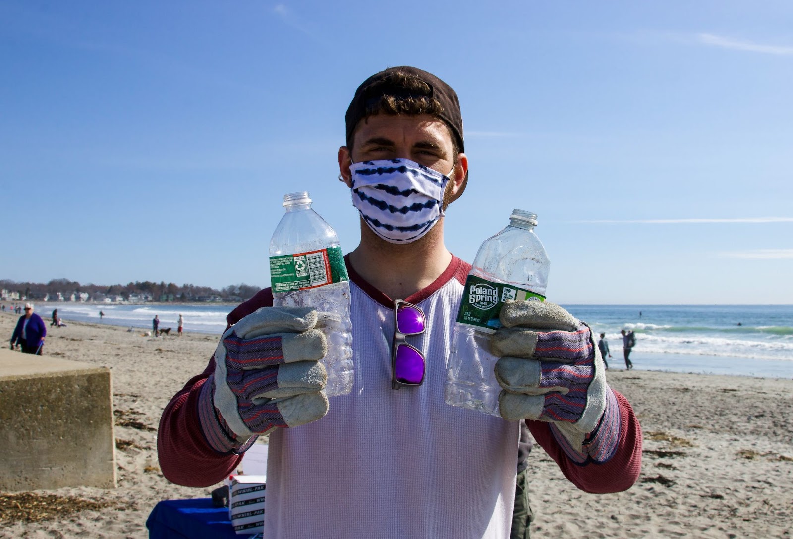
However, as transportation began to modernize over the last century, the constant stream of rainwater that gave life to the region has become the biggest reason for its potential decline. Rain previously absorbed into the dirt would now run along miles of concrete and into the neighboring bodies of water, collecting all sorts of harmful pollutants along the way. Currently composed of an untold variety of toxins from oil, fertilizer, or leaking septic tanks, this stormwater can be lethal to the region’s native wildlife.
Addressing this problem was the primary motivation for the Stormwater Heatmap, a free-to-use interactive tool created by the Nature Conservancy and launched in March.
The culmination of six years of development, the application provides a never-before-seen view of real-time pollutant levels for nearly 17,000 square miles of watershed around the Seattle area.
The map contains an infrared display of pollution concentration and will hopefully be used to guide municipalities as they look to eliminate stormwater buildup with greater efficiency.
The Heatmap uses machine learning to identify several different data inputs that allow for accuracy down to the meter. It identifies three separate layers — land cover, precipitation, and pollutant concentration — and compares that with other factors such as traffic level to provide an unprecedented look into how things like urban composition affect pollution miles away.
This tool is a massive leg up for Seattle-area organizations planning cleanup and restoration efforts and Native American groups planning salmon recovery missions.
“The Stormwater Heatmap levels the playing field and gives everybody in Puget Sound really high-quality data and high-quality science about where to build projects,” said Christian Nilsen, who worked on its technical development.
Nilsen remains excited about how the map will be incorporated into the data analysis projects of various organizations soon. “More effort will be towards solving the problem than collecting data and doing the planning and figuring out where the problem is,” he said.
The project was made possible through a collaboration between The Nature Conservancy and developmental partners like Geosyntec Consultants, the Washington Department of Fish and Wildlife, the National Oceanic and Atmospheric Administration, Aardvark Design Labs, and Cheva Consulting.